DEMO MODE — Sample data for illustration purposes only. Sign up to see live community reports.

    Demo Dashboard · Sample Data · For demonstration only

    See Floodi During an Active Florida Storm Event

    This is what a property management ops director sees when a flood advisory fires for their communities — realistic sample data showing what Floodi looks like when flood activity is visible, for property managers, HOAs, emergency managers, and city/county staff. Demo information is not live current data.

    Reports today

    47

    sample resident and staff submissions

    Verified signals

    18

    community, moderator, and official statuses

    Affected roads

    12

    sample corridors grouped for briefings

    Pilot areas

    6

    Florida city, HOA, marina, and county demos

    Sample Data map

    Map with sample flood reports

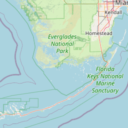
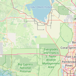
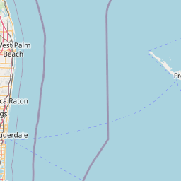
    25 illustrative reports across Miami-Dade, Broward, and Palm Beach with Monitor/Prepare/Act Now tier badges — same tiering logic as the live map, sample locations.
    🟡
    🔴
    🟡
    🟡
    🟡
    🔴
    🟡
    🟡
    🟡
    🔴
    🟡
    🟡
    🟡
    🔴
    🟡
    🟡
    🟡
    🟡
    🔴
    🟡
    🟡
    🟡
    🟡
    🔴
    🟡
    Leaflet © OpenStreetMap contributors
    🧪 SAMPLE DATA
    This map shows fictional sample reports, alert boundaries, and flood zones for illustration. It is not live flood data and does not reflect real current conditions.

    What an operations director is seeing here

    • 25 community flood reports across Miami-Dade, Broward, and Palm Beach.
    • Tiered severity: Monitor (yellow), Prepare (orange), Act Now (red).
    • Each pin shows street address, severity, timestamp, and description.
    • Official NWS alerts overlaid on the same map (sample alert boundary shown here).
    • FEMA flood zones visible as a toggleable layer (sample zones shown here).

    Flood Risk Signal

    Elevated

    Elevated

    This signal combines available official alerts, nearby readings, recent reports, and local flood history. It is not a government warning.

    Transparent MVP signal, not a forecast.

    Official alert cards

    Coastal Flood Advisory · Sample Data
    Flood Watch · Sample Data

    Gauge cards

    Miami River: action stage · Sample Data
    Hillsborough River: normal · Sample Data
    St. Johns River: elevated · Sample Data

    Infrastructure overview

    Road impacts
    Official alert context
    Gauge cards
    Flood Memory examples
    HOA/property notes
    Export-ready summary

    Report verification states

    pending · Sample Data

    Miami Beach

    6–12 inches street flooding near Alton Road

    08:27

    community verified · Sample Data

    Fort Lauderdale

    Standing water reported near Las Olas Isles

    08:33

    moderator verified · Sample Data

    Tampa

    Road shoulder flooding near Bayshore Boulevard

    08:44

    official verified · Sample Data

    Jacksonville

    City-maintained road closure note added to dashboard

    09:02

    Export preview

    Sample Dashboard exports can include event name, city, county, date range, report counts, verified reports, official alerts, gauge readings, hotspots, locations, timestamps, verification status, photo links when available, and notes.

    Sample Dashboard · Demo Data

    Emergency Management Dashboard Preview

    A lightweight operational view for county and city pilots: live reports, verification state, official context, gauge readings, hotspots, team notes, and post-storm exports.

    Request Government Pilot

    Live reports panel

    18

    Sample reports queued by location and severity.

    Verified reports

    7

    Verification workflow separates confirmed, pending, and disputed reports.

    Official alerts

    2

    NOAA/NWS flood alerts are kept separate from sample reports.

    Gauge readings

    4

    Nearby readings with latest observed timestamps.

    Flood Risk Signal

    Elevated

    Elevated

    Transparent MVP signal, not a forecast.

    Export buttons

    CSV · GeoJSON

    Download incident logs and map-ready locations.

    Hotspot map
    Alton Road / 10th Street
    Las Olas Isles
    Brickell Avenue underpass
    Bayshore Boulevard
    Incident timeline
    Sample Data
    08:12 Resident report submitted near Alton Road.
    Sample Data
    08:19 Gauge reading moved into action stage.
    Sample Data
    08:27 Moderator marked two reports verified.
    Sample Data
    08:40 CSV export prepared for post-event summary.

    Team notes

    Placeholder

    Internal notes stay out of public maps.

    Post-storm summary

    Preview

    Reports, alerts, gauges, hotspots, notes.

    Organization dashboard preview

    Lightweight operations for HOAs, condos, marinas, and property teams.

    Saved areas
    Reports near properties
    Alert list
    Incident history
    Export button
    Team member placeholder
    Resident notification placeholder
    Request Organization Access

    Lean demo, no realtime dependency

    The dashboard is intentionally hardcoded for Phase 1 demos so Floodi can show operational value without paying for heavy background compute, automated importers, or enterprise APIs.

    Clear separation from live data

    All items on this page marked Sample Data, Demo Data, Sample Dashboard, or For demonstration only are illustrative and should not be treated as live flood conditions.

    Open Storm Archive

    Request a Floodi demo

    Tell us your role and area of interest so we can tailor a lean walkthrough.