
Live hurricane flooding awareness for Florida.
Use Floodi to view the live Florida flood map, scan storm flood reports, sign up for alerts, and share local road-flooding awareness during tropical systems.
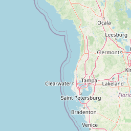
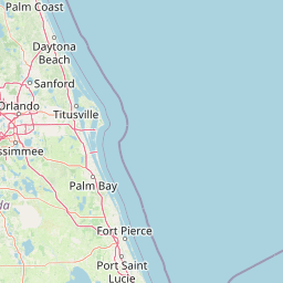
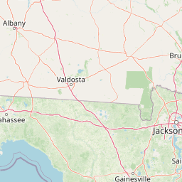
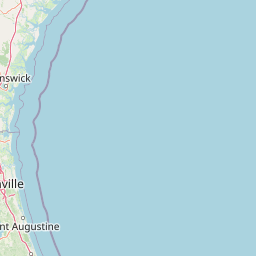
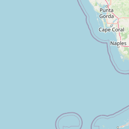
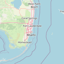
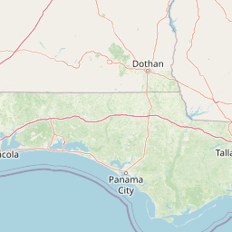
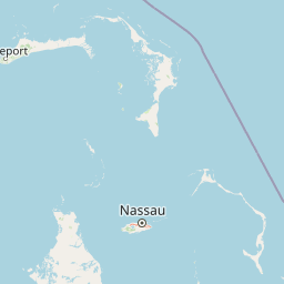
Live Florida flood map




Historical monitoring
Live storm flood report trends
Seeded from historical Florida flood-prone areas, with live public Floodi reports used when available.
Cities
Counties
Reported areas
- Miami Beach king tide zones6
- Fort Lauderdale drainage corridors5
- Key West low-lying streets4
- Fort Myers storm surge areas3
- Tampa Bay coastal roads3
High severity
No high severity reported right now — a quiet period, not necessarily a safe one.
Road impacts
No road impacts reported right now — a quiet period, not necessarily a safe one.
Safety guidance
Do not drive through flooded roads. Follow county emergency management, evacuation orders, National Weather Service warnings, and local officials.
Emergency disclaimer
Floodi does not replace 911, NOAA/NWS alerts, Wireless Emergency Alerts, evacuation orders, or official government instructions.
Alert signup
Save a Florida city or county to receive email flood awareness updates where supported.
Save your countyGovernment and organizations
Cities, counties, HOAs, media, and property teams can request a pilot workflow or embedded public map.
Request a 30-day pilotFlorida county hurricane flood pages
Hurricane season flood FAQ
Follow Floodi for Florida flood updates
Community-powered flood intelligence, built for Florida residents and organizations. Help neighbors avoid flooded roads.