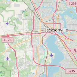
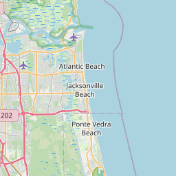
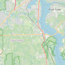
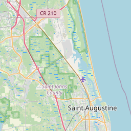
The St. Johns River, Intracoastal Waterway, and Atlantic coastline make Northeast Florida flood-prone during nor'easters, hurricanes, and king tides. Riverside, San Marco, downtown Jacksonville, and historic St. Augustine see repeated flooding from storm surge and river backflow.
Duval County flooding hits hardest along the St. Johns River — Riverside, San Marco, and downtown Jacksonville saw historic flooding during Hurricane Irma's storm surge and Tropical Storm Debby. St. Johns County flooding affects historic St. Augustine and Ponte Vedra Beach during nor'easters and king tides, while Clay County and Nassau County see inland river and coastal flooding from tropical systems off the Atlantic. Floodi delivers Northeast Florida flood alerts in real time so Jacksonville commuters can avoid flooded I-95, the Hart Bridge, and downtown surface streets.
Cities and neighborhoods covered
• Jacksonville
• Jacksonville Beach
• Atlantic Beach
• Neptune Beach
• St. Augustine
• Ponte Vedra Beach
• Orange Park
• Fleming Island
• Middleburg
• Fernandina Beach
• Yulee
• Nocatee
Recent reports in Northeast Florida
No active official flood alerts are showing for this area right now. Open the live map to check community reports nearby.
See water on a street? Submit a report in 30 seconds — you'll help every Northeast Florida driver behind you avoid it.
Get alerts for your area
Save your home, work, and your kids' schools as watched zones to get notified the moment flooding is reported nearby.
Northeast Florida flood FAQ
Open the Floodi live map for real-time, neighbor-reported flooding across Jacksonville, San Marco, Riverside, and the beaches.
Yes — Floodi covers all of St. Johns County including historic downtown St. Augustine, Ponte Vedra Beach, and Nocatee.
The St. Johns is a slow, low-gradient river. When tropical systems push storm surge upriver from the Atlantic combined with heavy rain, neighborhoods like Riverside and San Marco flood from river backflow.