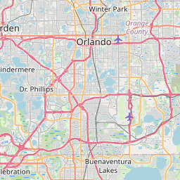
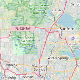
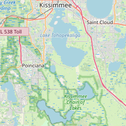
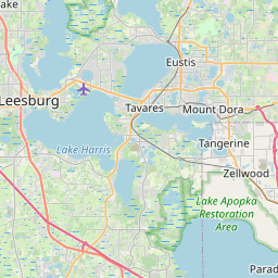
Central Florida's flat terrain, thousands of lakes, and intense summer thunderstorm season make inland flooding common. Tropical systems crossing the peninsula, like Ian and Milton, can dump feet of rain in days — overwhelming retention ponds and flooding neighborhoods from Orlando to Daytona to Lakeland.
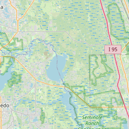
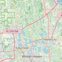
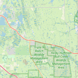
Orange County flooding from Hurricane Ian in 2022 inundated Orlando neighborhoods well inland from the coast, and Seminole County's Lake Monroe and St. Johns River basin saw record cresting. Osceola County flooding around Kissimmee and Polk County flooding around Lakeland are driven by saturated retention ponds during the rainy season, while Volusia County deals with both Daytona Beach Atlantic surge and inland river flooding around DeLand. Floodi's real-time Central Florida flood map crowdsources alerts so residents know which roads are flooded the moment it happens.
Cities and neighborhoods covered
• Orlando
• Kissimmee
• Sanford
• Altamonte Springs
• Winter Park
• Apopka
• Oviedo
• St. Cloud
• Daytona Beach
• DeLand
• Lakeland
• Winter Haven
Recent reports in Central Florida
No active official flood alerts are showing for this area right now. Open the live map to check community reports nearby.
See water on a street? Submit a report in 30 seconds — you'll help every Central Florida driver behind you avoid it.
Get alerts for your area
Save your home, work, and your kids' schools as watched zones to get notified the moment flooding is reported nearby.
Central Florida flood FAQ
Open the Floodi map to see real-time, neighbor-reported flooding across Orlando, Winter Park, Kissimmee, and the rest of Orange and Osceola counties.
Yes — Hurricane Ian showed Central Florida flooding can be severe far from the coast, with Orlando, Kissimmee, and Lakeland seeing days of standing water from saturated lakes and retention ponds.
Yes — Floodi covers all of Volusia County including Daytona Beach, Ormond Beach, DeLand, and the St. Johns River corridor.