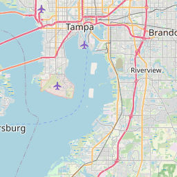
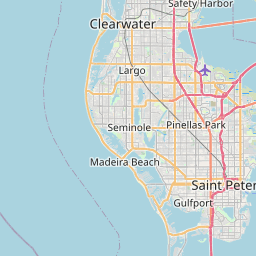
Tampa Bay's low elevation, miles of Gulf coastline, and dense network of bayous make it highly vulnerable to storm surge, tropical systems, and heavy summer downpours. South Tampa, Davis Islands, downtown St. Pete, and barrier islands like Clearwater Beach see repeated flooding.
Tampa Bay storm surge is one of the highest hurricane risks in the country — Hillsborough County flooding from Hurricane Helene and Milton in 2024 demonstrated how fast Gulf surge can inundate Bayshore Boulevard, Davis Islands, and South Tampa. Pinellas County flooding affects the entire barrier island chain from Clearwater Beach down through Treasure Island and St. Pete Beach, while Pasco, Manatee, and Sarasota counties see heavy rain flooding inland and along the Gulf. Floodi gives Tampa Bay residents real-time crowdsourced flood alerts during summer storms and hurricane season.
Cities and neighborhoods covered
• Tampa
• St. Petersburg
• Clearwater
• Brandon
• Riverview
• Largo
• Palm Harbor
• New Port Richey
• Bradenton
• Sarasota
• Venice
• Wesley Chapel
Recent reports in Tampa Bay
No active official flood alerts are showing for this area right now. Open the live map to check community reports nearby.
See water on a street? Submit a report in 30 seconds — you'll help every Tampa Bay driver behind you avoid it.
Get alerts for your area
Save your home, work, and your kids' schools as watched zones to get notified the moment flooding is reported nearby.
Tampa Bay flood FAQ
The Floodi live map shows real-time, neighbor-reported flooding across Tampa, South Tampa, Davis Islands, and all of Hillsborough County.
Yes — Floodi covers the entire Tampa Bay region including all of Pinellas County: St. Pete, Clearwater, Largo, and the barrier islands.
Tampa Bay is one of the most storm-surge-vulnerable metros in the US. Hurricane Helene and Milton in 2024 produced record surge along Bayshore, Davis Islands, and the Pinellas barrier islands.