
Florida Flood Map — All Counties
Floodi is the live, crowdsourced flood map for the entire state of Florida — every county, from the Panhandle to the Keys. See flooding right now, anywhere in Florida.
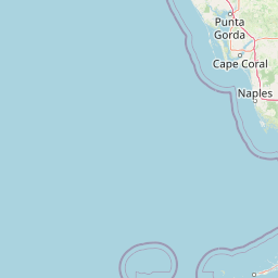
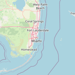


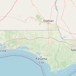


Historical monitoring
Trending Florida flood areas
Seeded from historical Florida flood-prone areas, with live public Floodi reports used when available.
Cities
Counties
Reported areas
- Miami Beach king tide zones6
- Fort Lauderdale drainage corridors5
- Key West low-lying streets4
- Fort Myers storm surge areas3
- Tampa Bay coastal roads3
High severity
No high severity reported right now — a quiet period, not necessarily a safe one.
Road impacts
No road impacts reported right now — a quiet period, not necessarily a safe one.
Florida flood maps by region
Miami / Miami-Dade
Live flooding for Miami, Miami Beach, Brickell, Coral Gables, Hialeah and all of Miami-Dade County.
Broward County
Fort Lauderdale, Hollywood, Pembroke Pines, Plantation and the rest of Broward County.
Palm Beach County
Boca Raton, West Palm Beach, Delray, Boynton, Jupiter and the entire Palm Beach coast.
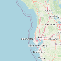
Tampa Bay
Hillsborough, Pinellas, Pasco, Manatee and Sarasota counties — Tampa, St. Pete, Clearwater, Sarasota.
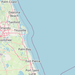
Central Florida
Orange, Osceola, Seminole, Volusia and Polk counties — Orlando, Kissimmee, Daytona, Lakeland.
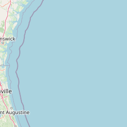
Northeast Florida
Duval, St. Johns, Clay and Nassau counties — Jacksonville, St. Augustine, Ponte Vedra.
Florida Panhandle
Escambia, Santa Rosa, Okaloosa and Bay counties — Pensacola, Destin, Panama City.
Florida Keys
Monroe County — Key West, Marathon, Islamorada and Key Largo.
Florida city flood maps
Florida county flood maps
Florida flooding today
Florida flooding affects every county in the state — from king-tide flooding in Miami Beach and the Florida Keys to hurricane storm surge along Tampa Bay and the Panhandle, to inland flooding around Orlando's lakes and the St. Johns River in Jacksonville. Florida flood zones cover roughly 20% of the state's land area according to FEMA flood map Florida data, but real-time flooding routinely affects roads, neighborhoods, and businesses well outside designated zones.
Floodi's hurricane flood tracker turns on automatically when the National Weather Service issues tropical storm or hurricane warnings for any part of Florida. During Hurricane Ian, Idalia, Helene, Milton, and Sally, residents used Floodi to crowdsource street-level flooding before official sources could catch up. Whether you're tracking Florida flooding today during the peak of hurricane season, watching for king-tide closures in the Keys, or trying to commute through a Tampa Bay summer thunderstorm, Floodi puts a live flood map of all of Florida in your pocket — for free.