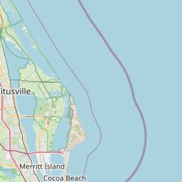
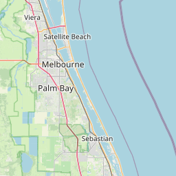
Brevard's barrier islands and Indian River Lagoon shoreline are highly exposed to storm surge, king tides, and tropical systems pushing in from the Atlantic. Heavy summer thunderstorms also routinely flood low spots along US-1, A1A, and inland Palm Bay neighborhoods.
Space Coast flooding ranges from sunny-day tidal flooding in Cocoa Beach and Satellite Beach to major hurricane surge events from storms like Ian, Nicole, and Matthew. With NASA's Kennedy Space Center and Port Canaveral driving daily traffic across causeways, even a few inches of standing water on A1A or the 520 causeway can paralyze the region. Floodi gives Brevard residents, surfers, and Space Coast commuters a real-time crowdsourced view of which roads are flooded right now.
Cities and neighborhoods covered
• Cocoa Beach
• Melbourne
• Titusville
• Palm Bay
• Cocoa
• Rockledge
• Satellite Beach
• Indian Harbour Beach
• Merritt Island
• Cape Canaveral
• Viera
• Suntree
Recent reports in Florida's Space Coast
No active official flood alerts are showing for this area right now. Open the live map to check community reports nearby.
See water on a street? Submit a report in 30 seconds — you'll help every Florida's Space Coast driver behind you avoid it.
Get alerts for your area
Save your home, work, and your kids' schools as watched zones to get notified the moment flooding is reported nearby.
Florida's Space Coast flood FAQ
Open the Floodi map for live, neighbor-reported flooding across Brevard County — Cocoa Beach, Melbourne, Titusville, and Palm Bay.
Yes — king tides regularly flood low-lying streets in Cocoa Beach and Satellite Beach, and intense summer thunderstorms cause flash flooding inland in Palm Bay and Melbourne.
Floodi crowdsources live A1A and US-1 flood reports from Brevard drivers so you can check before crossing the causeways.